

Advisory and Program Management
Structured spatial and digital twin programs that improve:
Your margin
Reduces lifecycle risk
Reduces safety risk
Reduces lost time
Improves data quality
and maintains engineering-grade data continuity across complex asset portfolios.
Why One-Off Capture Increases Commercial Exposure
Most infrastructure projects capture spatial data once.
Commercial exposure increases when monitoring is not structured, repeatable and governed.
Unstructured Monitoring Creates
Progress reporting drifts
Quantity validation weakens
Variation exposure increases
Asset records fragment
Structured Programs Deliver
Measurable baselines
Repeatable validation cycles
Commercial defensibility
Lifecycle continuity
DeepSkyIQ programs convert capture into controlled, repeatable spatial programs that establish measurable baselines and maintain data integrity across time.
Program Architecture

Recurring Monitoring
Scheduled RTK surveys
Time-series model updates
Volumetric validation
Change detection reporting
DeepSkyIQ designs and executes repeatable monitoring frameworks tailored to your portfolios, infrastructure corridors and operational assets.
Governance Framework
Documented QA protocols
Accuracy validation
Metadata control
Chain-of-custody documentation

Enterprise Integration
BIM and GIS-ready outputs
Asset system integration
Portfolio benchmarking
Executive reporting dashboards
API-enabled asset integration
Commercial Impact Across the Asset Lifecycle
Margin Protection
Independent volumetric validation
Accelerated claim validation
Reduced variation disputes
Defensible as-built verification
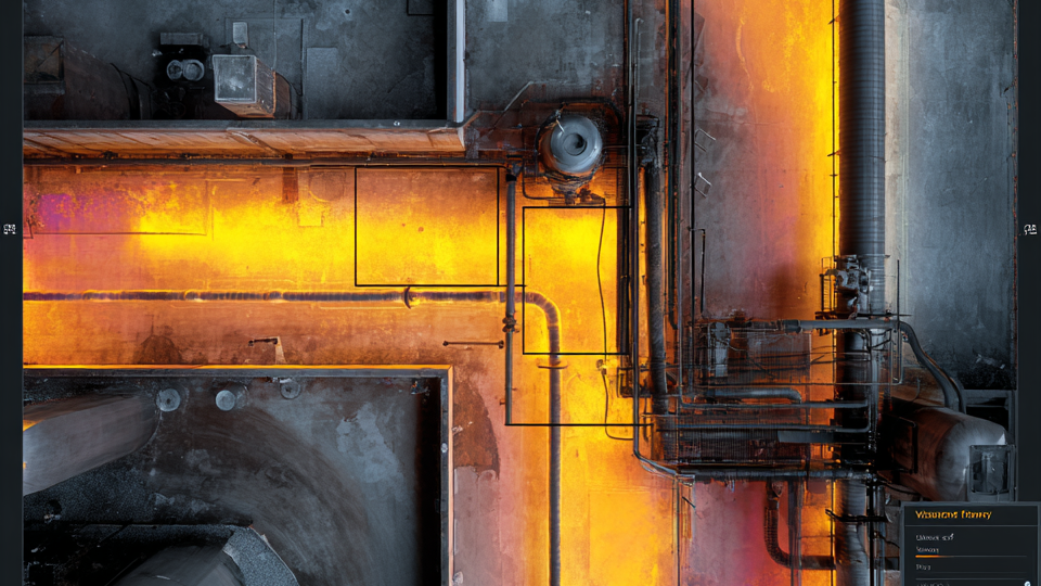
Operational Asset Oversight
Repeat monitoring without shutdown
Remote inspection and 360 documentation
Reduced rope, helicopter and scaffold dependency
Long-term condition comparison
Portfolio-Level Governance
Multi-site program deployment
Cross-project benchmarking
Capital planning visibility
Renewal forecasting support
Structured spatial programs generate measurable commercial outcomes across the asset lifecycle.

One spatial program. All environments.
Ready to Structure Your Asset Intelligence Program?
Move from reactive capture to controlled lifecycle spatial governance.
Engineering-Grade. Portfolio-Ready. Governance-Aligned.
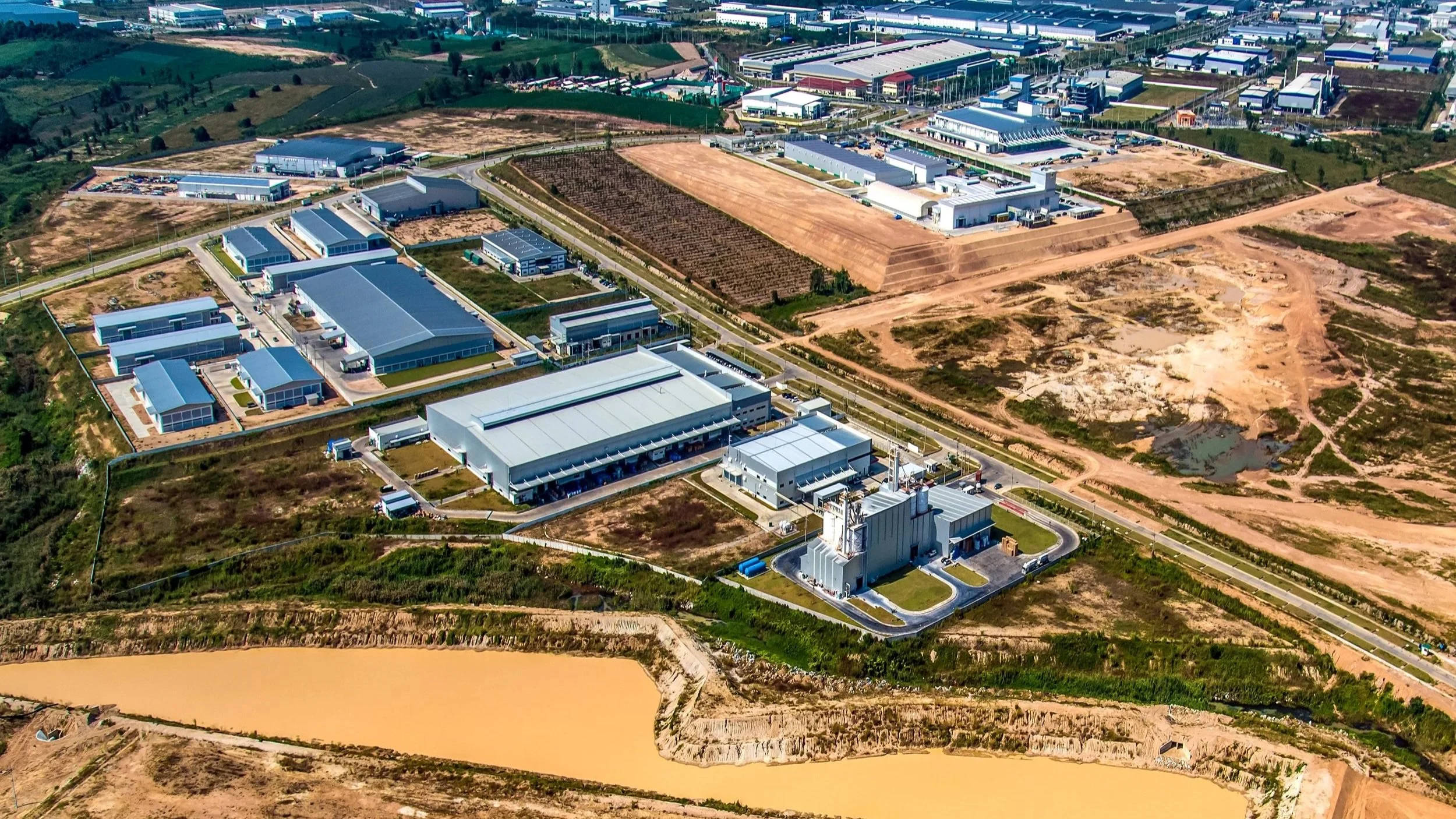
Multi-Environment Capability
DeepSkyIQ deploys structured monitoring across:
Aerial environments
Confined spaces
Interior/Exterior
Submerged assets
Transport corridors
Energy and utilities infrastructure
Vertical and operational facilities
This supports portfolio-wide continuity regardless of environment.
Governance-Controlled Capture Framework
RTK validation
Ground control QA
Accuracy verification and reporting
Structured photogrammetry and point cloud workflows
Enterprise metadata standards
Audit-ready documentation
Deliverables support:
Contract administration
Regulatory reporting
Commissioning sign-off
Dispute resolution
Portfolio governance
From Project Capture to Governed Digital Twin Lifecycle
Our programs enable:
Time-series 3D model comparison
Structured trade validation
Condition layering within digital twins
Cross-phase change detection
Portfolio-wide comparability
Enterprise asset system integration