
Architecture, Engineering, Construction and Land Development
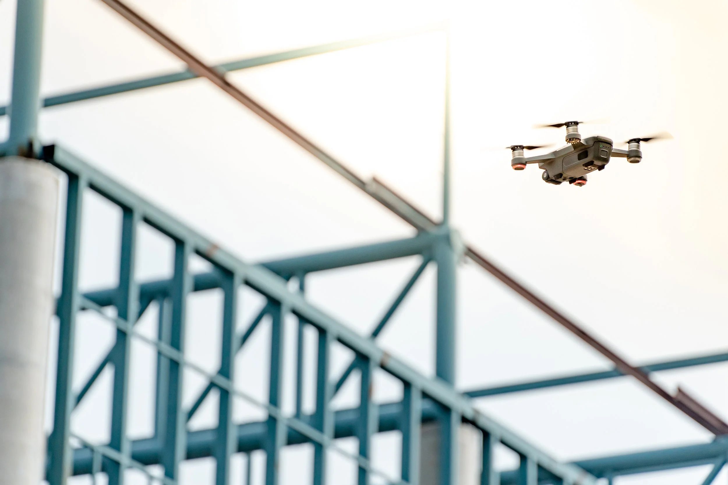
Uncrewed and autonomous asset intelligence
We replace scaffolding, rope access and manual surveying with multi-sensor imaging and engineering-grade digital twins. This creates a living, evolving view of your project, reducing risk, improving communication and enabling data-driven decision-making at every stage.
From land assessments to project completion, we are your one-stop shop for aerial data collection, analysis, and advanced modelling
Let us help you save costs, improve safety, enhance precision, and drive innovation. Together, we’ll ensure your projects are faster, smarter, and more profitable.
From aerial inspections to ground robotics and confined-space mapping, we deliver the clarity, speed, and accuracy needed to manage complex projects with confidence.
What We Deliver to AEC Projects
Smarter insights. Faster workflows. Safer operations.
-
Sub-centimetre accuracy using multi-sensor drone, ground and confined space systems.
Detect cracks, defects, corrosion, water ingress and structural anomalies early.
-
Track site progress, compare against design, manage subcontractor accountability and streamline approvals
-
Weekly or milestone reality capture supports QA, claims resolution, change management and OAC reporting.
-
Thermal overlays reveal leaks, insulation failures and moisture issues without physical access.
-
Caged drones and ground robots safely inspect voids, tanks, tunnels and internal structures.
-
DSM, DTM, volumetrics, cut fill analysis and layout data for planning and earthworks.
Why AEC Teams Choose DeepSkyIQ
See More. Know More. Respond Smarter.

Faster, safer site intelligence
Traditional inspections rely on scaffolding, rope access and manual measurements.
Our systems eliminate high risk tasks and complete inspections up to 70 percent faster.
Engineering grade accuracy
We capture sub centimetre data using RGB, LiDAR, thermal and hyperspectral imaging to deliver precise, validated insights.
This reduces costly errors, improves QA and enhances project certainty.
Reality capture for every stage of construction
From pre-con to close out, we document:
Existing site conditions
Utilities
Foundations and structure
Facades and cladding
Roofing
Interiors and MEPF
Punch lists and handover
BIM integrated digital twins
Our 3D, 4D and 5D digital twins integrate directly with BIM, enabling:
Design vs as built comparisons
Progress tracking
Clash detection
Cost and schedule analysis
Reduced costs and delays
Up to 60 percent reduction in inspection and documentation costs
Up to 80 percent reduction in high risk tasks
Extended repaint and repair cycles by 20–40 percent