

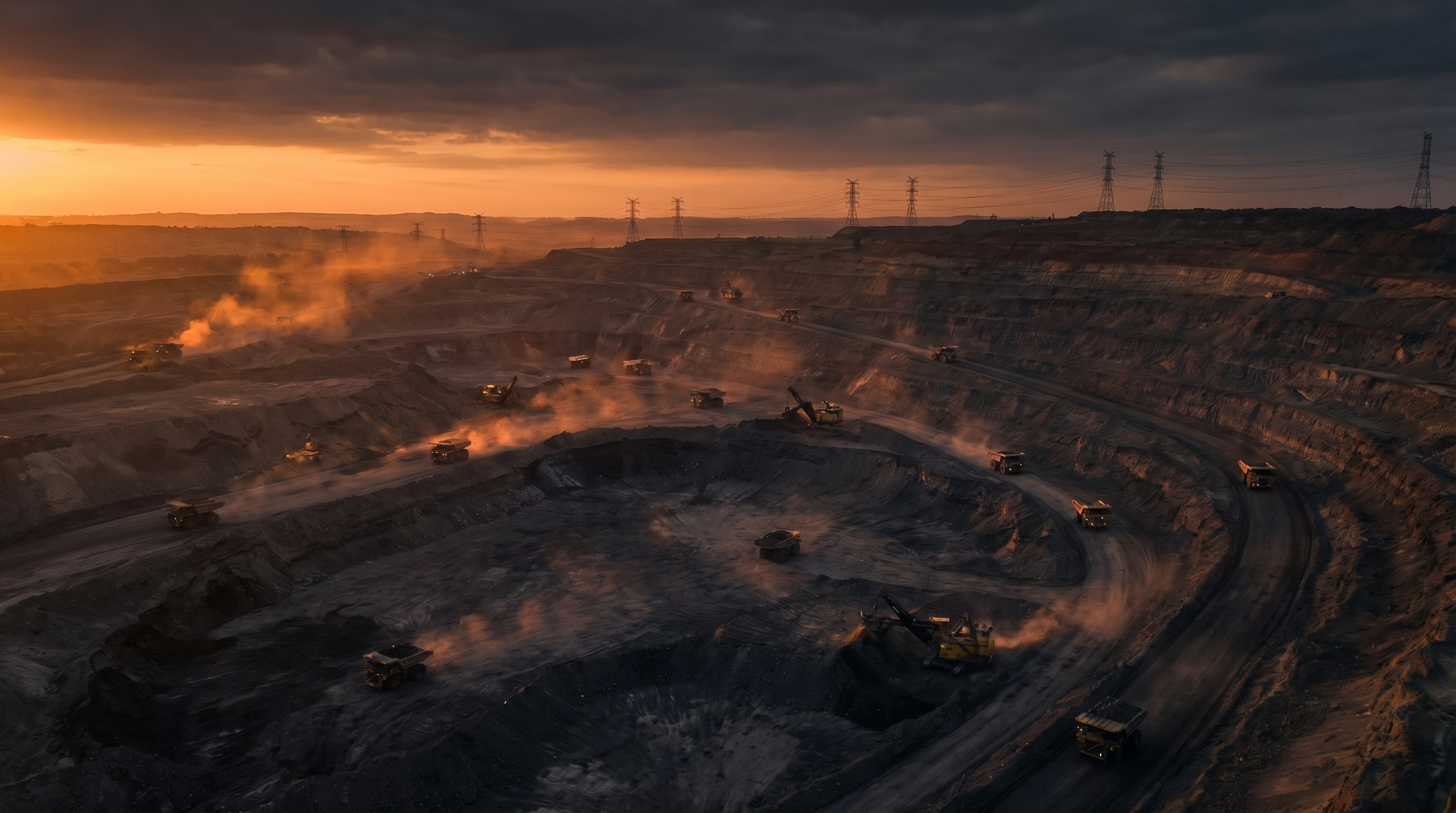
Energy, Utilities and Resources
For operators managing assets across remote and complex environments. Inspect massive asset portfolios without operational shutdowns. Faster & Safer.
ISO 14001
-
ISO 45001
-
ISO 9001
-
CASA Certified ReOC
-
$20m Insurance
-
ISO 14001 - ISO 45001 - ISO 9001 - CASA Certified ReOC - $20m Insurance -
Complete Asset information. Less downtime. Reduced costs.
The Challenges
Remote and Hazardous Environments
You manage assets in hard-to-reach, risky, or costly locations. Safety and liability concerns, the impact of expensive downtime, and lost opportunities.The Solution:
Regulatory Pressure for Documented Evidence
Verifiable, documented proof of asset condition, environmental impact, OHS, and more. Manual reports and random photos leave gaps in compliance records and information to fix issues early.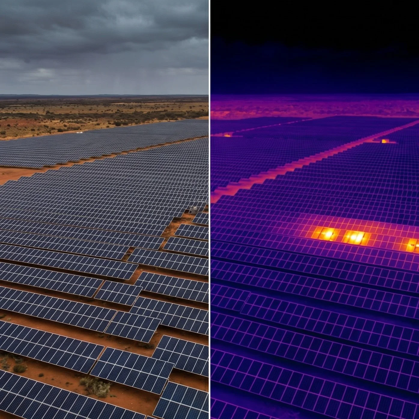
We reduce downtime, lower labour costs, enhance preventative maintenance, improve decision-making and strengthen sustainability outcomes across operations.Massive Asset Portfolios
Whether it's large power lines, solar farms, roads, bridges, dams, ports, railways, or mines. Using traditional methods to inspect them is slow, costly, and misses too much detail.We deploy enterprise-grade drones, 360 cameras, and ROVs to capture precise, measurable data across your entire operations, in all environments, aerial, ground, confined spaces and underwater.Thermal Fault Detection:
We identify electrical faults in power lines and solar farms before they cause catastrophic failure, using radiometric thermal imaging.Volumetric Measurement:
We provide highly accurate stockpile calculations, data visualisation for construction, quarries, mine sites and others, enabling better inventory management and financial reporting.Zero-Shutdown Inspections:
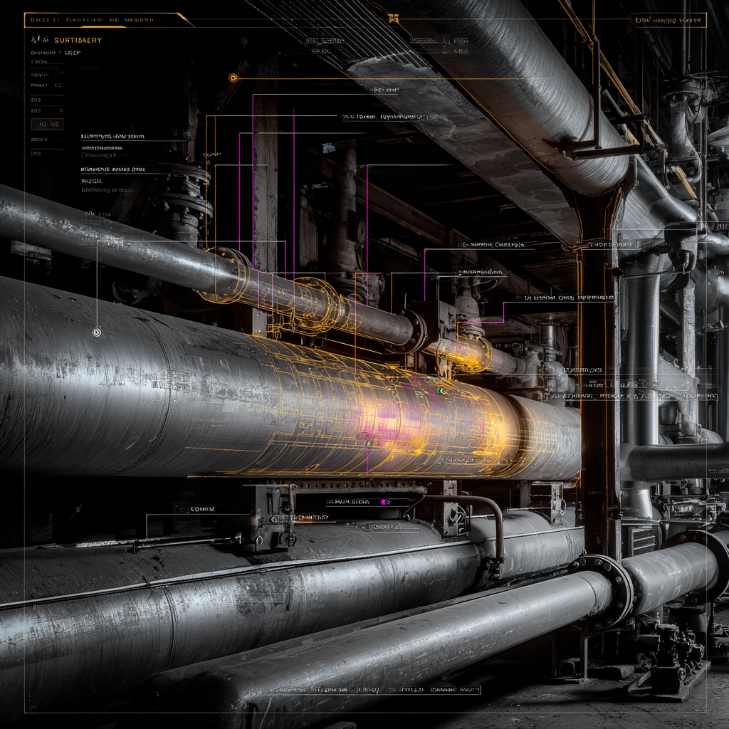
We inspect critical infrastructure, such as cooling ponds, storage tanks, and processing plants, to ensure they remain fully operational under most circumstances.Comprehensive Digital Twins:
We build accurate 3D models of your sites, allowing your engineering teams to plan maintenance and upgrades remotely, with one model from the submerged to those at height, 360 degrees.Vegetation Management:
We use multispectral imaging to monitor vegetation and soil health, weeds and pest encroachment near powerlines and other assets, and identify high-risk areas before they cause outages. We also offer aerial spraying, spot-treating, hydroseeding, and fertilising.30-50% faster inspection cycles. Up to 60% reduction in working-at-height exposure.
30-50% faster inspection cycles | Up to 60% reduction in working-at-height exposure | Zero Shutdowns
Industries
-
Inspections, digital twins, cleaning, predictive maintenance and compliance for turbines, solar, substations and power infrastructure.
-
LiDAR mapping, stockpile analysis, emergency response, asset inspections, water efficient cleaning and environmental monitoring.
-
Progress tracking, 4D and 5D digital twins, QA validation, volumetrics and site safety intelligence.
-
Event monitoring, first response, autonomous surveillance and real time data for risk and safety teams.
-
Bridge inspections, road and tunnel mapping, rail assessments and multi sensor condition analysis.
Frequently Asked Questions
Can you inspect live power lines?
Yes. Our pilots are trained to operate safely as authorised persons around high-voltage infrastructure. We use specialised drones with high-resolution zoom and thermal cameras find heat anomalies, insulating failures, and spotting rust or structural damage capturing detailed imagery from a safe standoff distance, eliminating the need for shutdowns. How accurate are your stockpile volume measurements?
We achieve +/-2cm positional accuracy using RTK-enabled drones, enterprise drones, and Emlid RS3 rover and Aeropoint 2 ground control points. This ensures your volumetric data is reliable.Do you operate in remote mining locations?
How much does drone powerline inspection cost per kilometre in Australia?
Can drones inspect substations and switchyards while they remain energised?
What defects can thermal imaging detect on electrical infrastructure?
How do drones inspect wind turbines without stopping them?
What is the ROI of drone inspection for mining and resources operations?
Can drones and ROVs inspect dams and water infrastructure?
Absolutely. We are equipped to deploy to remote sites across Australia. We hold comprehensive CASA approvals with advanced endorsements, allowing us to work anywhere and cover massive areas efficiently.Drone powerline inspection in Australia typically costs between $200 and $800 per kilometre, depending on terrain, vegetation density, and reporting requirements. This compares to $1,500-$4,000 per kilometre for helicopter-based methods and $3,000-$8,000 per kilometre for ground-based climbing crews. The cost reduction of 60-80% compared with helicopter methods stems from lower mobilisation costs, the absence of the need for large landing zones, and the ability to fly closer to conductors for higher-resolution defect detection.Yes. Drones equipped with radiometric thermal cameras and high-resolution zoom lenses can inspect energised substations from safe standoff distances (typically 5-15 metres from live conductors). Thermal imaging identifies hot joints, overloaded connections, and failing insulators without requiring de-energisation or human entry into the switchyard. This eliminates the planned outage window (typically $50,000-$500,000 in lost generation or supply penalties) and reduces inspection time from 2-3 days to 2-4 hours per substation.Radiometric thermal imaging detects a range of electrical defects, including hot joints (loose connections), overloaded conductors, failing surge arresters, degraded insulators, transformer cooling issues, and unbalanced loads. Temperature differentials of 2-3 degrees Celsius above ambient indicate developing faults, while differentials over 10 degrees Celsius indicate critical defects requiring immediate intervention. Our AI-powered analysis automatically supports the classification of defects by severity (minor, serious, critical) according to NETA MTS-2019 standards, enabling prioritised maintenance scheduling.Drones can inspect wind turbine blades, nacelles, and towers while the turbine is in a slow-rotation or locked position. Blade inspection requires the turbine to be stopped and locked (typically 2-4 hours per turbine), but tower and nacelle inspection can proceed during normal operation. A single drone team can inspect 8-12 turbines per day compared to 1-2 per day using rope access. Defects detected include leading edge erosion, lightning strike damage, crack propagation, and blade root delamination, with resolution sufficient to identify cracks as small as 0.5mm.Mining operations typically achieve 3-5x ROI on drone inspection programs through reduced equipment downtime, eliminated confined space entry costs, and accelerated defect detection. A single unplanned conveyor failure can cost $500,000-$2,000,000 per day in lost production. Regular drone and thermal inspection of conveyors, crushers, stackers, and processing infrastructure identifies developing failures 6-12 months before catastrophic breakdown, enabling planned maintenance during scheduled shutdowns rather than emergency repairs during production.Yes. We deploy aerial drones for dam wall faces, spillways, and surrounding embankments, combined with underwater ROVs for submerged components, including outlet valves, intake structures, and dam toe areas. This multi-environment approach provides complete dam condition intelligence without draining the reservoir or deploying divers. Our LiDAR-equipped drones detect millimetre-level movement in dam walls through repeat surveys, while ROV-mounted sonar maps sediment accumulation and identifies scour patterns that threaten structural integrity.