
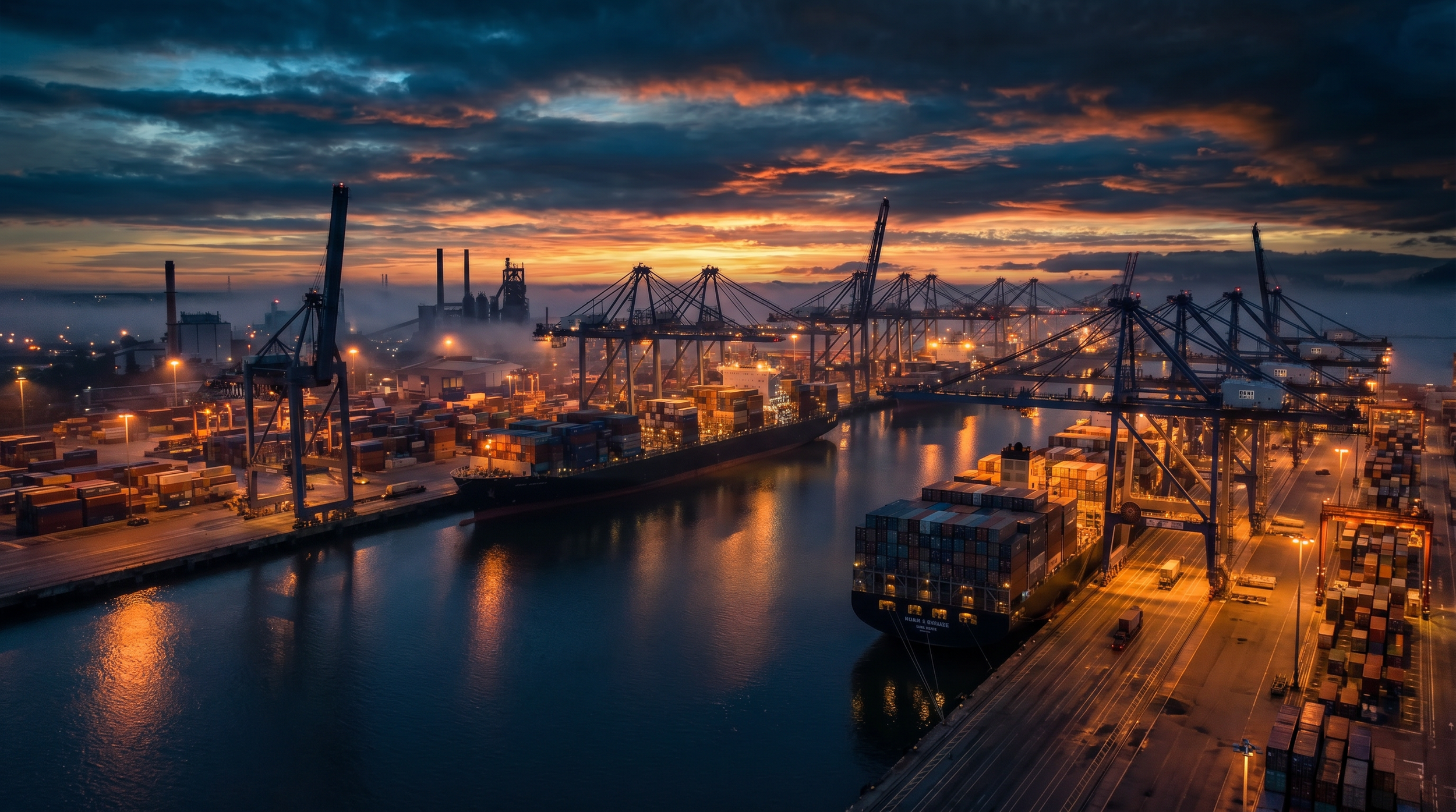
Ports, Marine and Coastal Infrastructure
Complete Asset Intelligence From Seabed To Rooftop
|
ISO 9001
ISO 45001
ISO 14001
Aligned
|
CASA ReOC
|
$20M Insured
|
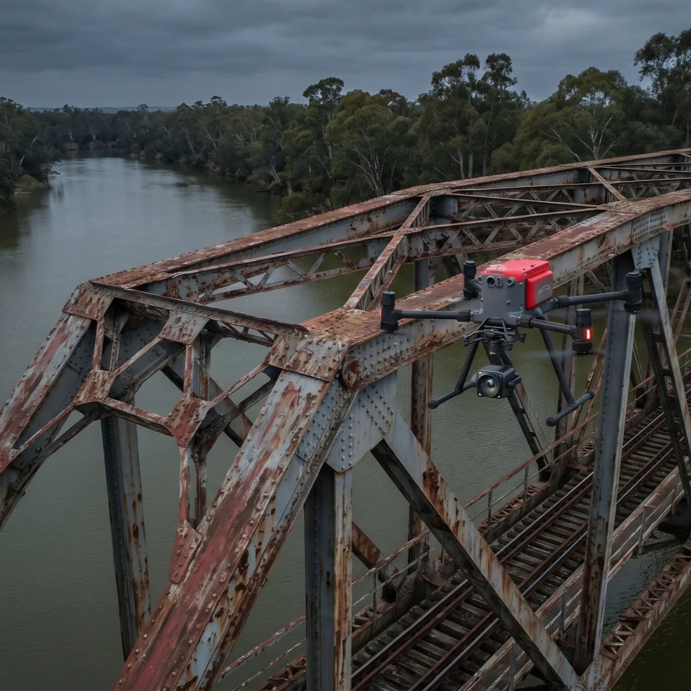
Bridge Inspection L1
| ISO 9001 ISO 45001 ISO 14001 Aligned | CASA ReOC | $20M Insured | Bridge Inspection L1
The Challenge & Cost of Uncertainty
Costs 5x More
Diver inspections can cost up to 5× as much as ROV programs due to support vessels, safety needs, longer setup/capture times, higher personnel needs, and a greater risk of incomplete data.
Accelerated Degradation
Saltwater corrosion and tides quickly degrade wharves, pipes, seawalls, culverts, and breakwaters, demanding constant monitoring and defect tracking.
100% Risk Exposure
Traditional methods expose divers to hazardous underwater conditions and liability. Human error in data capture widens the capability gap.
Operational Disruption
Stopping port or ship operations for prolonged inspections costs revenue and delays supply chains.
Fragmented Data
Hiring separate aerial and underwater contractors. Subjective, incomplete, or inconsistent reports prevent tracking of asset degradation over time and the identification of the real cost to your operations.
30-50%
Faster inspection cycles vs traditional methods
40-70%
Lower cost vs commercial diving teams
80%
Less operational shutdowns required
+/-2cm
Repeatable positional accuracy
“40-60% Improved Defect Detection”
One partner. Five Environments.
Total Asset Intelligence.
Stop managing separate contractors. We cover drones and robotic solutions for air, ground, confined space, and underwater assets in a single, integrated program.
Digital twins accuracy
Measure, plan, and interact with millimetre-accurate 3D to 8D models remotely. No need for costly return site visits.
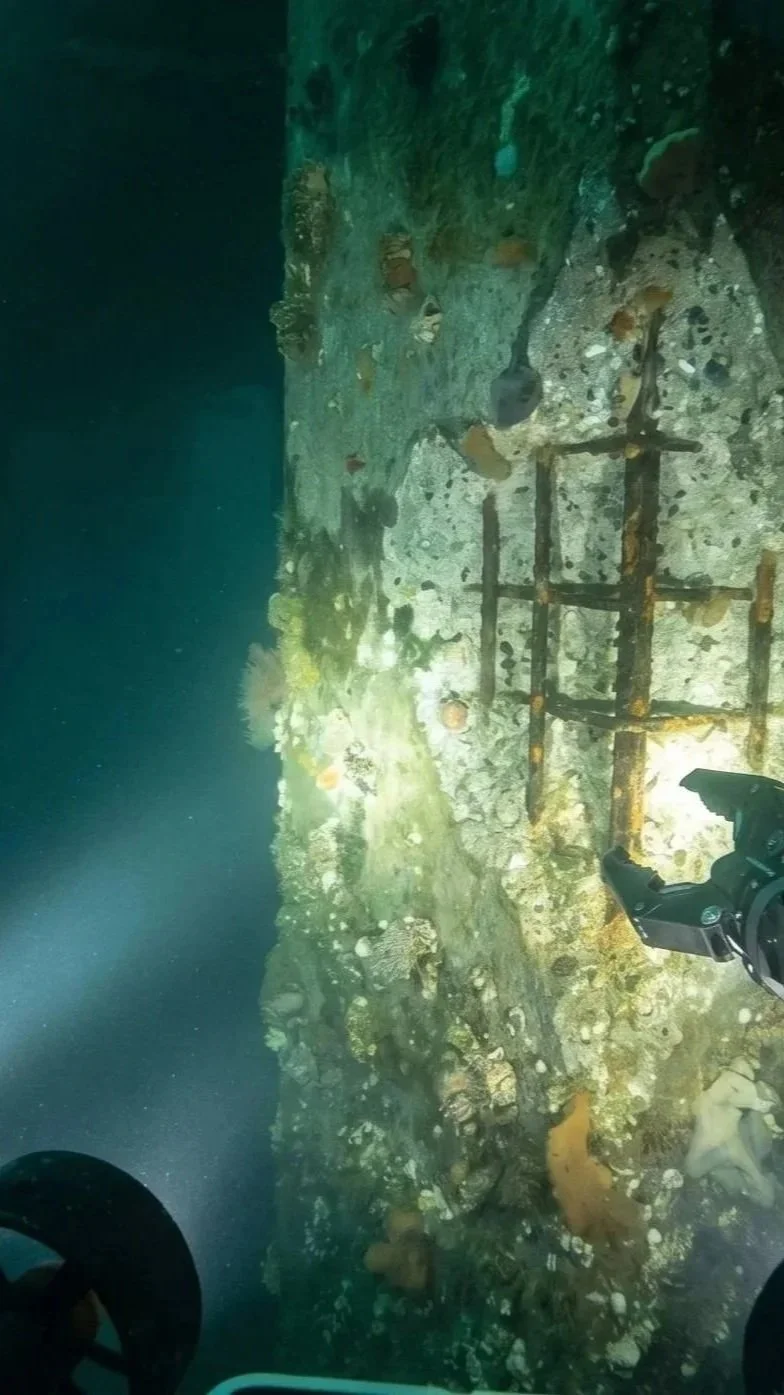
Find every defect
We combine high-resolution visual, sonar, and LiDAR data to identify and measure corrosion, cracking, and structural anomalies that divers miss.
AI-powered measurement to 99.7% accuracy
Our platforms use dual-laser and AI algorithms to measure fractures, damage, and deformation in real time, giving your engineers precise, non-destructive data without a diver in the water.
2D and 3D seafloor mapping in a single pass
Integrated bathymetric tools generate topographic maps, depth contours, and reservoir capacity estimates with one-click reporting.
Data you can trend
Autonomous navigation with inertial positioning (U-INS) ensures repeatable flight paths, so every survey captures comparable data for accurate tracking of degradation over time.
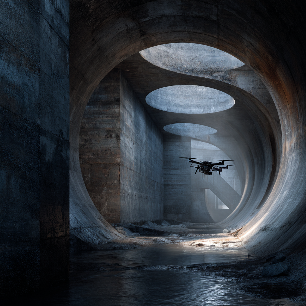
Rapid response for critical assets & underwater searches
Our ROV systems weigh less than 7kg with hot-swappable batteries, so you can deploy them anywhere in Australia within hours for emergency inspections & searches, minimising downtime.
Get Your Free Subsea Asset Intelligence Assessment Scope
See how our integrated approach can reduce your inspection costs by 30-70%, save you time, and eliminate your safety risks.
Applicable Industries

Frequently Asked Questions
Can you inspect underwater port infrastructure without disrupting vessel operations?
Yes. Our underwater ROVs inspect wharf piles, seawalls, berth faces, and subsea pipelines without requiring vessel exclusion zones or berth closures. ROV operations can be conducted alongside active port operations with minimal coordination requirements. Above-water aerial inspection of cranes, conveyors, and storage infrastructure is similarly non-disruptive, operating from safe standoff positions.
What underwater depths can your ROVs reach?
Our inspection-class ROVs operate to depths of 500 metres, covering the full range of port and coastal infrastructure including deep-water berths, offshore mooring systems, subsea cables, and pipeline crossings. For shallow-water applications (wharf piles, seawalls, marina structures), we deploy compact observation-class ROVs optimised for manoeuvrability in confined underwater spaces.
How does the combined aerial and underwater approach benefit port operators?
A single mobilisation captures both above-water and below-water asset condition in one coordinated program. Both datasets are unified into a single 3D digital twin: one coordinate system, one timeline, one interactive viewer. This eliminates the coordination overhead of managing separate aerial and marine contractors, reduces total mobilisation costs by 30-40%, and provides spatially correlated data that reveals relationships between above-water deterioration and subsea degradation.
Can you monitor coastal erosion and sediment movement?
Yes. Using LiDAR and photogrammetry at regular intervals, we create precise 3D terrain models that quantify erosion rates, sediment transport patterns, and shoreline movement with centimetre accuracy. Time-series analysis identifies erosion hotspots, predicts future shoreline positions, and provides the engineering data needed for coastal protection design and environmental compliance reporting.
What security capabilities do you offer for port environments?
Our DeepSky Protect division provides autonomous drone-in-a-box security systems for port perimeters, container yards, and restricted zones. Thermal detection, AI-powered tracking, and 60-second response times provide 24/7 surveillance across large port areas at 40-60% lower cost than equivalent manned guard coverage. Systems integrate with existing port CCTV and access control infrastructure.
How do you handle the corrosive marine environment for data accuracy?
Marine environments accelerate corrosion and biofouling, making regular monitoring essential. Our sensors are calibrated for marine conditions, and our processing algorithms account for environmental factors (water clarity, marine growth, tidal variation). For underwater inspections, we capture in multiple lighting conditions and angles to ensure complete coverage beneath biofouling. Repeat surveys at consistent tidal states enable accurate change detection of corrosion progression.
What compliance standards do your port inspections satisfy?
Our inspection data supports compliance with the Maritime Safety Queensland requirements, Australian Standards for maritime structures (AS 4997), ISPS Code security requirements, and state-specific port authority regulations. Deliverables are structured to align with your existing asset management frameworks and regulatory reporting obligations. All data is captured under our ISO 9001 quality management system with full traceability.